Rechercher...
The GT20 from Ile Rousse to Corte with Corsica Aventure


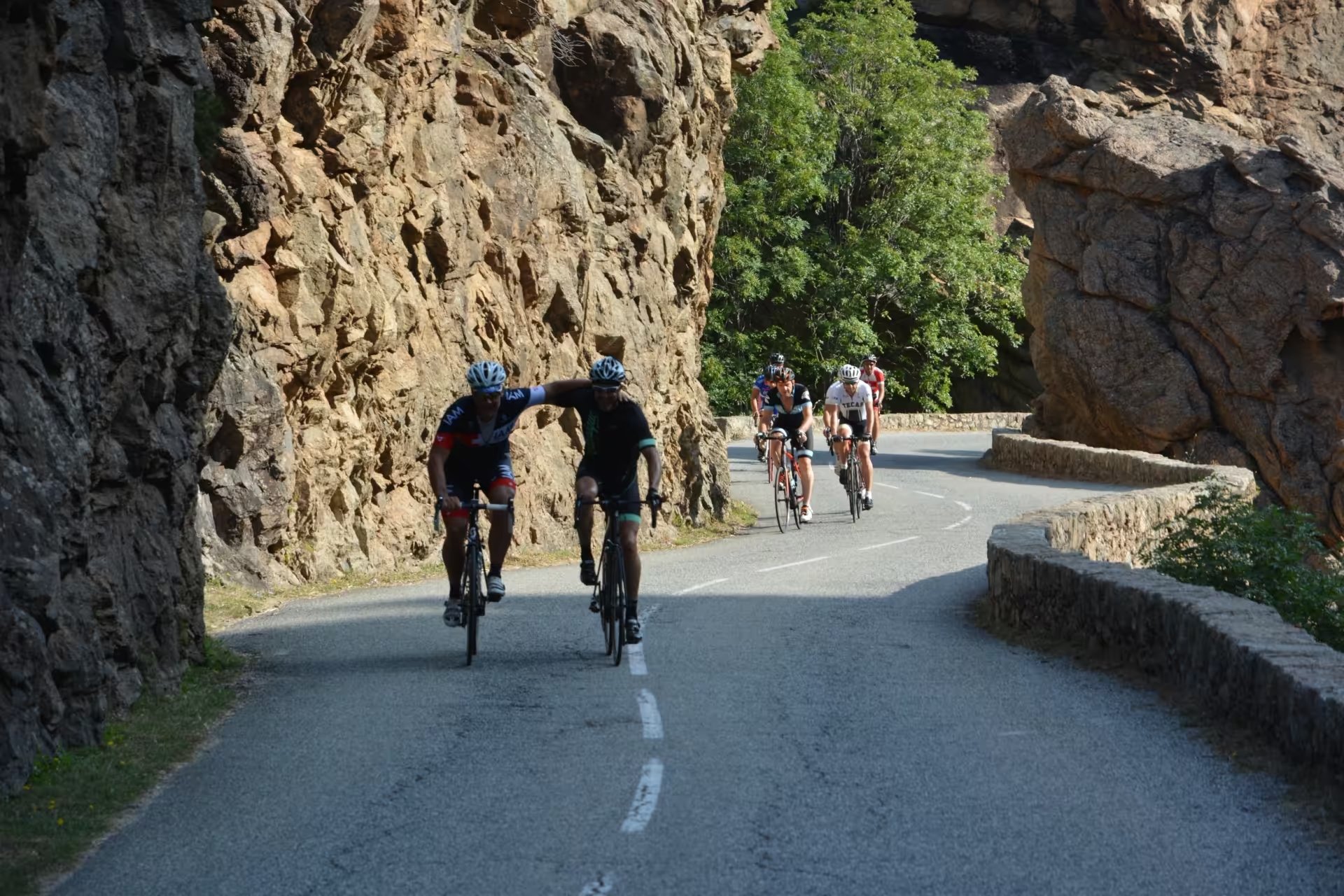
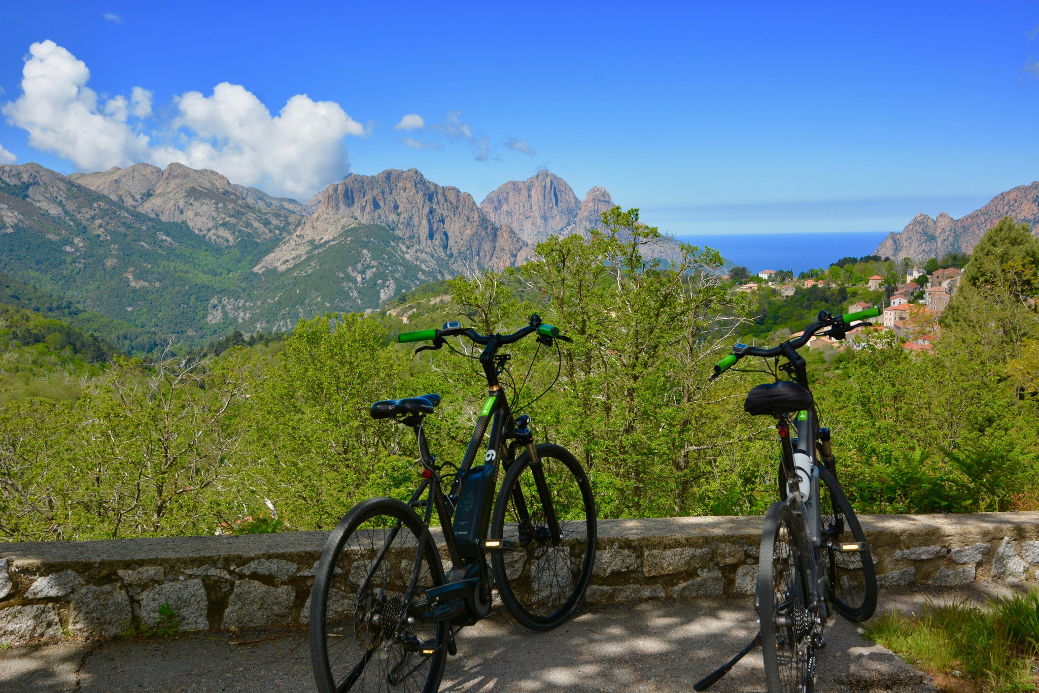
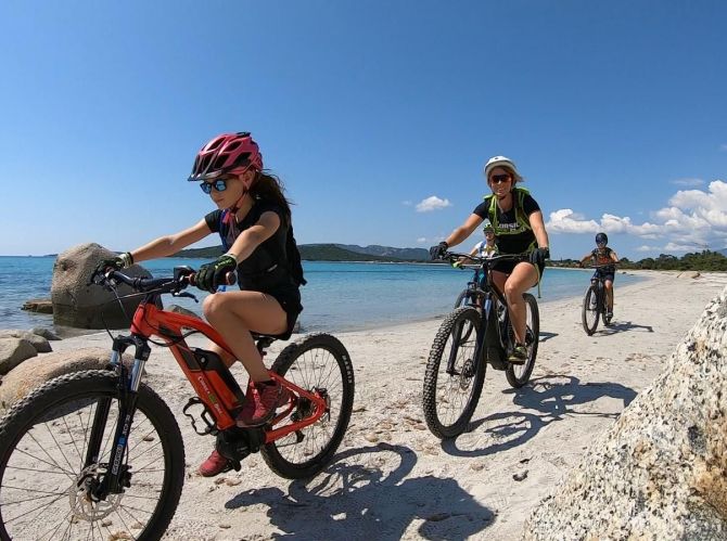
A spectacular itinerary between L'Ile Rousse and Corte, with must-do stages such as Galéria, Porto, Evisa and the Vergio pass. This self-guided itinerary offers 4 days of moderate cycling on an electric bike, or more intensive cycling on a muscle bike.
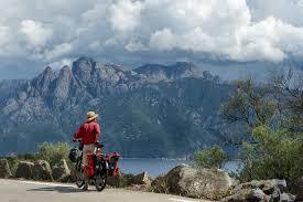
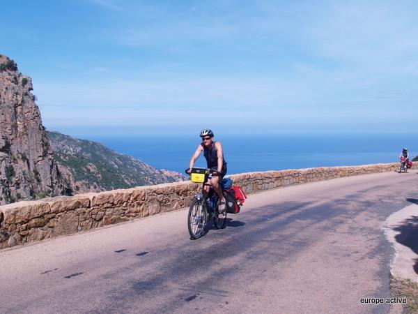
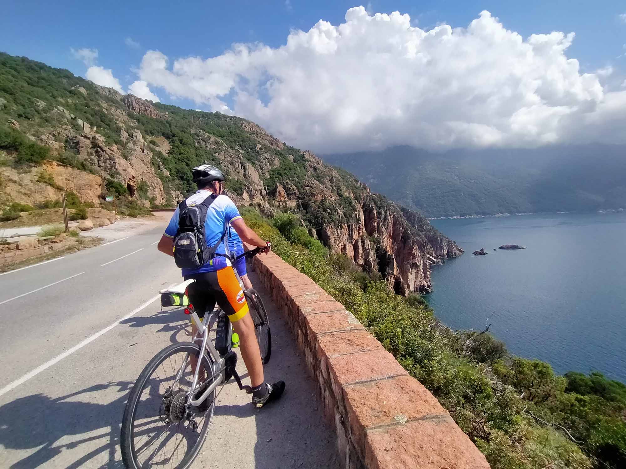
Departing from L'Ile Rousse, the GT20 leads inland to Galéria via the Marsolinu pass and the Fango river. From Galéria, the route crosses the Gulf of Girolata and Porto, offering spectacular views as far as the Calanches de Piana. The route then leads to Ota and Evisa, land of chestnut trees and remarkable gorges, before reaching the Vergio pass. The descent towards the Niolo passes through the Aïtone forest and the villages of Albertacce and Calacuccia, before reaching the Scala di Santa Regina gorge. Finally, after a final pass, the route ends in Corte, in the heart of Corsica.
YOUR PROGRAMME
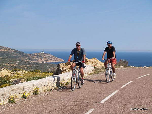
DAY 1 Start of your stay in L'Ile Rousse
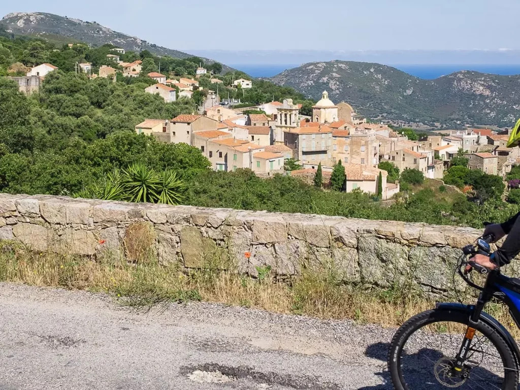
Arrive, settle into your hotel and visit the town at your leisure. L'Ile Rousse, nestling in a bay bathed in light, offers a backdrop of turquoise sea and ochre hills. Founded by Pascal Paoli, this town with its Mediterranean charm will win you over with its authenticity and gentle way of life. The town centre, punctuated by the Place Paoli and its century-old plane trees, is alive with a friendly atmosphere. The port, both picturesque and lively, opens onto an archipelago of red rocks that have given their name to the town. A popular seaside resort, L'Île-Rousse enchants visitors with its fine sandy beaches and flamboyant sunsets. It combines heritage, nature and the Corsican art of living.
P.S.: If you would like to start your journey directly to Galéria on the first day, without spending the night in L'Île-Rousse, please contact us for the applicable discount.
Night in L'Ile Rousse
DAY 2 From L'Ile Rousse to Galéria
Leaving L'Ile Rousse, the route to Galéria takes you inland along the GT20, which rises gradually through the maquis to the Col de Marsolinu (443 m), before descending to the River Fango and then to the village of Galéria. Once in Galéria, you can enjoy a boat trip to the Scandola nature reserve, a UNESCO World Heritage site, a unique experience offered by a number of local boatmen.
Distance 62 km Difference in altitude +1150 m / -1150 m
Overnight in Galéria
DAY 3 Galéria to Porto
Leaving Galéria, you will follow the Fango river for a few kilometres, in pursuit of Corsican trout, before gradually climbing to the Palmarella pass, which marks the border between Haute-Corse and Corse-du-Sud. From here, the route plunges into the Gulf of Girolata, then the Gulf of Porto, following a spectacular route between mountain and sea with breathtaking views. Before descending to the village of Porto, you'll pass through a formation of red porphyry, the volcanic rock that gives the famous Calanches de Piana their distinctive hue.
Distance 50 km Difference in altitude +600 m / -600 m
Overnight in Porto
DAY 4 From Porto to Vergio
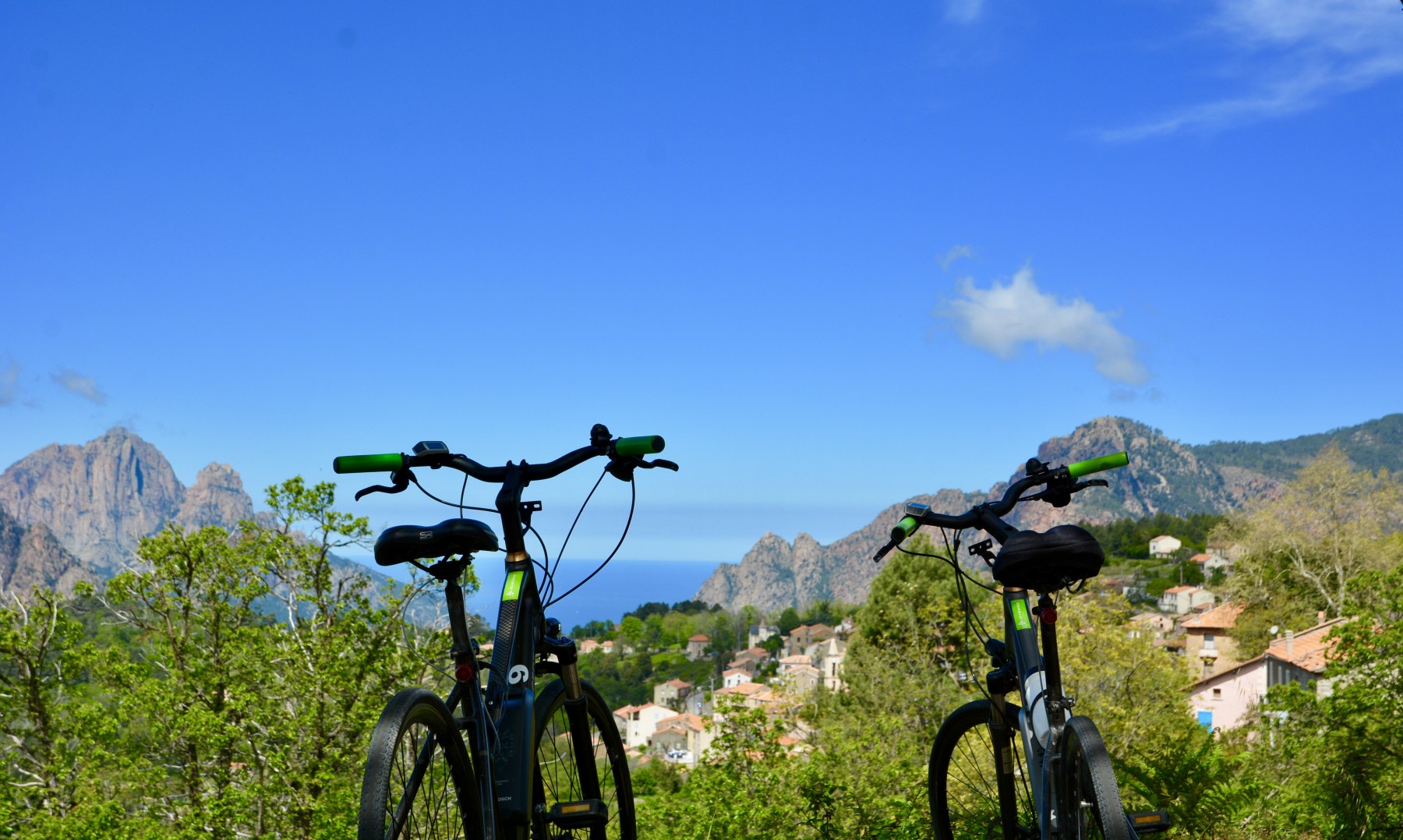
You'll set off up the Spelunca valley to discover Ota, the historic port of Porto. This gentle climb will take you through some remarkable gorges, crossed by the river of the same name. The route takes you to the village of Evisa, renowned for its chestnut cultivation, protected by a PDO, and for its rich natural heritage. The area is rich in biodiversity, including the Aïtone forest, perfect for swimming and hiking. The Col de Vergio, the highest road pass on the island, will be a not-to-be-missed stopover on your way to your accommodation a few kilometres beyond the pass.
Distance 36 km Difference in altitude +1450 m / -100 m
Overnight in Vergio
DAY 5 Vergio to Corte
A day dedicated to crossing the Niolo micro-region, entirely downhill. You'll start out through an imposing fir forest, dominated by Corsica's highest peaks, to reach the village of Albertacce, then Calacuccia. The Golo, which forms the lake at Calacuccia, gradually becomes a narrow, winding river, giving rise to the spectacular Scala di Santa Regina gorges. You'll wind your way between mountains and river in this grandiose setting, before crossing a small pass that will take you to Corte.
Distance 50 km Difference in altitude +350 m / -1700 m
Departures on request every Tuesday from the end of April to the end of June and from the beginning of September to October. Registration possible for 2 people or more. Departure possible on another day at extra cost. For bookings at other times, please contact us.
The months of July and August are not recommended for this itinerary due to the heat and traffic on the roads. Please contact us beforehand if you would like to depart on this date.
Start
At your hotel in L'Ile Rousse.
End
In Corte after the day's cycling. If you hire a bike, meet the hire company at 4pm in front of Corte station.
Access
Ile Rousse ferry terminal or Calvi airport. If you are arriving from another town in Corsica, please contact us.
Accommodation
Hotel** and *** in double room. Single room supplement to be requested when booking.
Meals
Continental breakfast (tea, coffee, milk, butter, jam).
Evening meal on your own (many restaurants on site). Only one evening meal is included, on D2 in Galéria, with a starter, main course and dessert.
Picnics not included. Can be bought on site.
Transport
Only your personal items for the day and your picnic. Luggage is transported by vehicle.
Supervision
This is a self-guided tour. We will provide you with a travel pack including a road map and GPS tracks. During your stay, our 24-hour assistance service will also be able to answer any questions you may have and, if necessary, give you advice on how to make the most of your stay.
Level
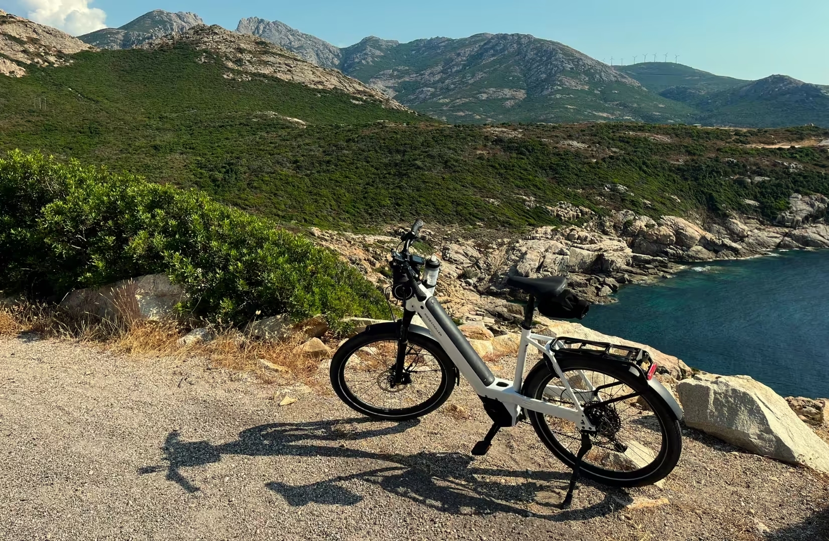
A reasonable level of fitness is required. You should do at least one sporting activity once a week. Stages of between 30 km and 60 km per day. Maximum cumulative altitude difference 1450 metres per day. First experience of a cycle tour is recommended. It is also possible to do this tour with an electric bike.
The digital roadbook
Once your holiday has been confirmed, you can download our application. It's easy to use and offers several functions:
Precise route guidance with alerts in the event of deviations.
View your starting point, accommodation, current position, mileage and altitude difference remaining.
Discover points of interest via interactive content with descriptions, photos and audio.
In an emergency, send an SOS alert with your GPS coordinates.
Contact function to share messages, photos and videos with our team during your stay.
Benefits
Prestations non comprises
Points forts
Access to luggage
Touring holiday - 4 days cycling with our Appli
Hotel ** and ***
Start in L'Ile Rousse, end in Corte