Rechercher...
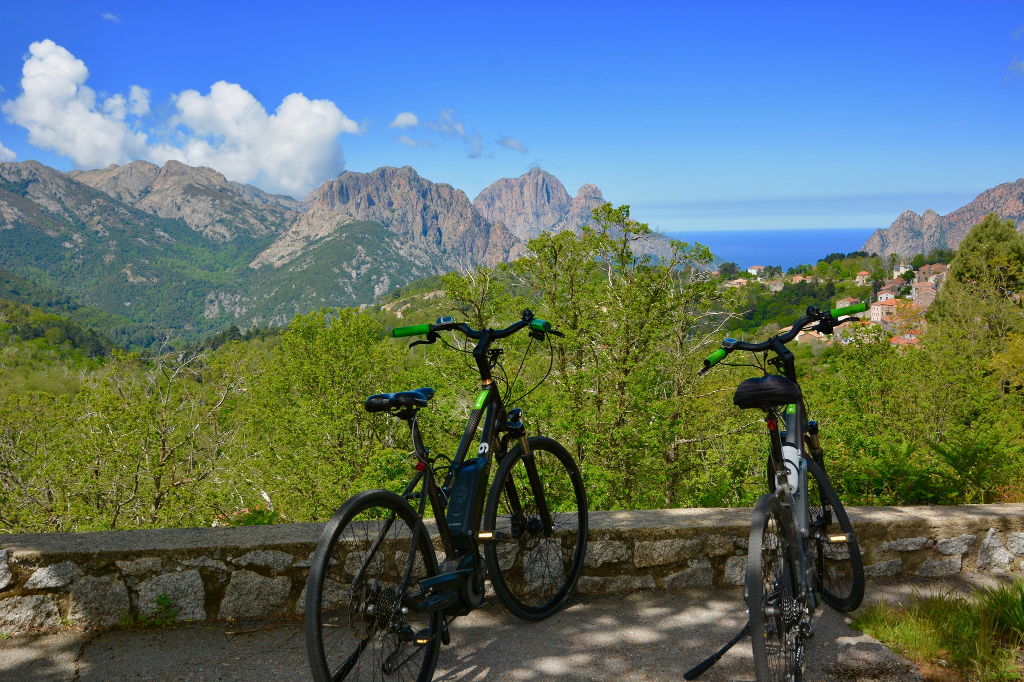
The classic GT20 with Corsica Aventure


Rates for 1 people(s)
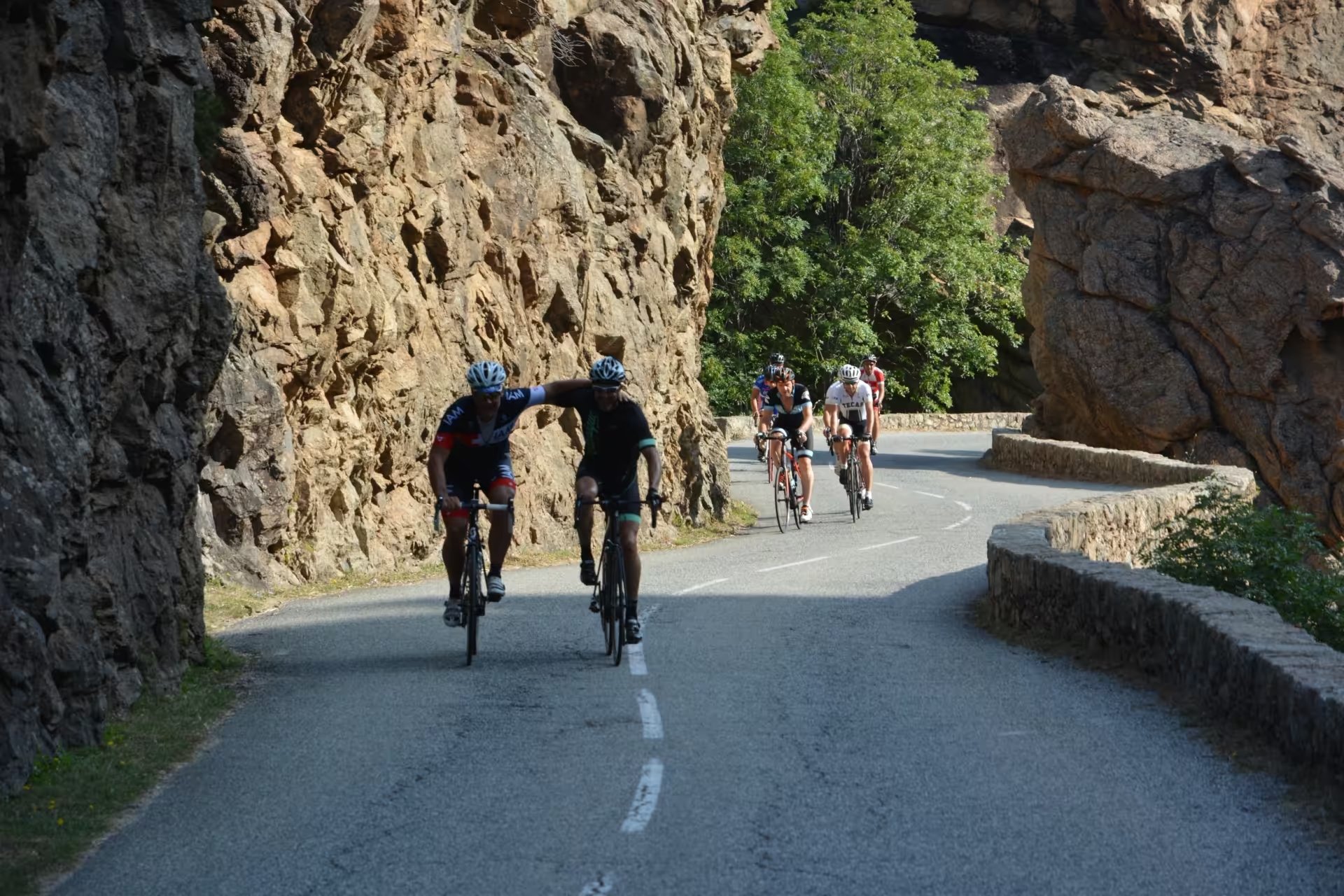
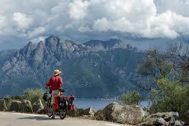
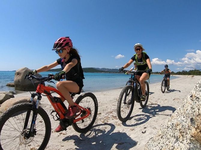
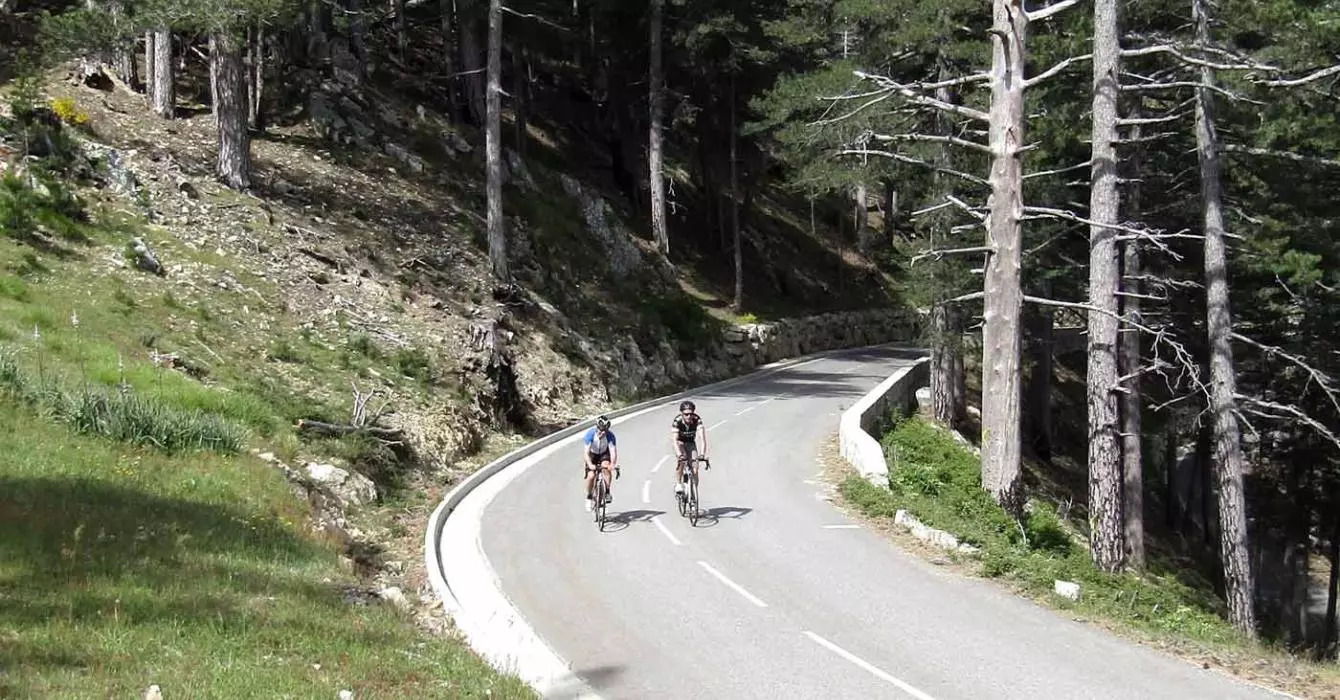
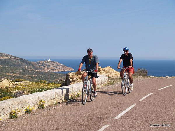
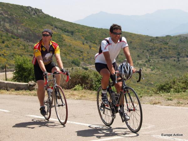
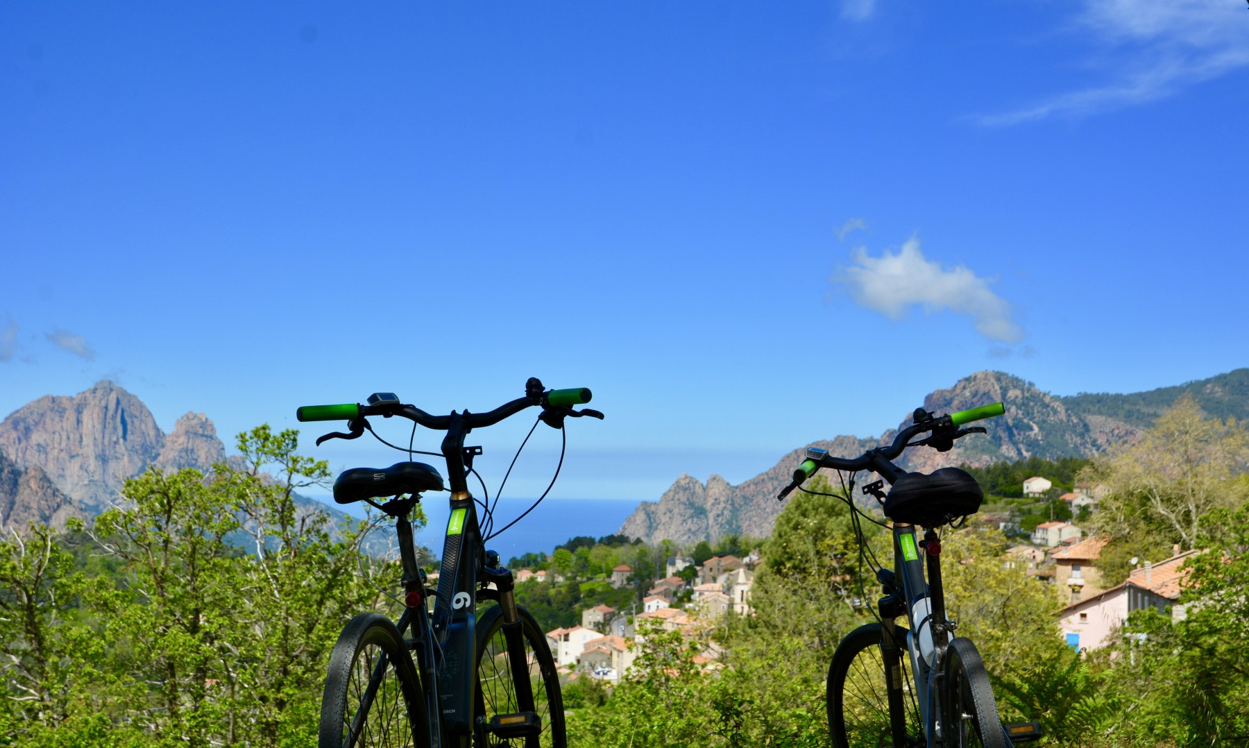
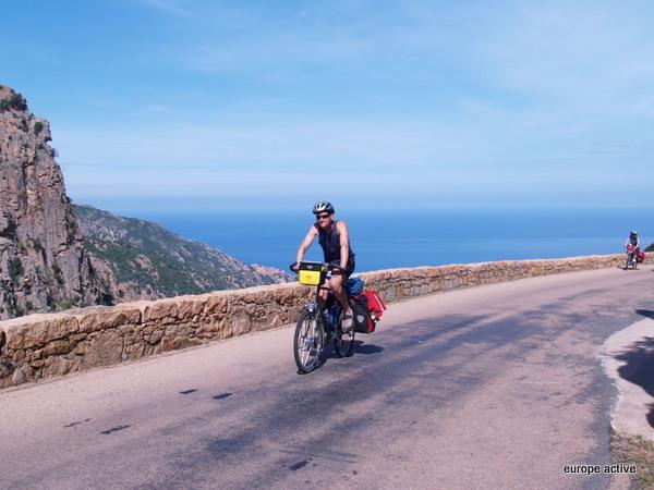
Experience a great adventure, from Bastia to Bonifacio, covering the whole of the GT20. Enjoy an itinerant holiday with 11 days of cycling: moderate level on an electric bike or advanced level on a muscle bike.
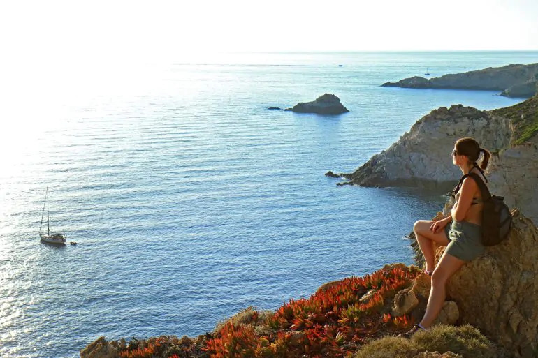
You'll cross Cap Corse to the Bay of Calvi before skirting the west coast via the Gulfs of Girolata and Porto. The route then takes you up into the high mountains, through the impressive Spélunca gorges to the remote villages nestling in the deep valleys of the Niolu.
You will then discover the vast forests of Aïtone and Valdo-Niellu, before crossing the Scala di Santa Regina to reach the centre of the island.
After passing through Corte, your route will continue southwards through the Alta Rocca and its famous villages, before plunging down to the spectacular coastline of the Bouches de Bonifacio.
YOUR PROGRAMME
DAY 1
Arrival in Bastia
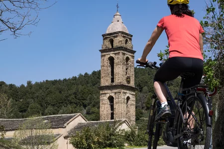
Check into your hotel, then discover Bastia, the cultural and historical capital of northern Corsica. Its authentic character and rich heritage are immediately appealing. Its winding streets are lined with magnificent Baroque churches. Mediterranean and warm, the city invites you to stroll around, enjoy the lively terraces, and admire the sunset over the façades of the old port, dominated by the steeples of Saint-Jean-Baptiste church.
PS: If you would like to start your journey to Centuri directly on the first day, without spending the night in Bastia, please contact us for a discount.
Night in Bastia
DAY 2
From Bastia to Centuri
From Bastia, the route follows the coastal road that leads to the north of Cap Corse. You'll pass pretty coves, separated by small villages, including Erbalunga, famous for its old village and Genoese tower. The route continues north to the village of Macinaggio. With its marina, ice-cream parlours and views of the Finocchiarola islands, Macinaggio is a must-see on Cap Corse. Next up is the ascent to the Col de la Serra (366 m), where you can see the Mattei mill, emblem of the famous brand of liqueur of the same name. The rest of the route is downhill, first to the village of Centuri, then to its port.
Distance 56 km Difference in altitude +700 m / -700 m
Overnight in Centuri
DAY 3
From Centuri to Saint Florent
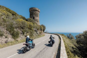
You will leave this charming port, renowned for its crayfish, on a winding road heading south. Today's route follows the coastline, sometimes at sea level, sometimes at altitude, but always with a breathtaking view of the sea horizon. You'll pass through some remarkable landscapes, emblematic of Cap Corse, as well as picturesque villages, all the way to Saint-Florent. Stop for a coffee with a view at the Auberge du Chat qui Pêche, then discover the black pebble beach of Nonza and its famous Paoline tower. The end of the day will take you to the heart of the Patrimonio vineyards, before heading back down to Saint-Florent, where you'll be back by the sea.
Distance 59 km Difference in altitude +800 m / -800 m
Overnight in Saint Florent
DAY 4
From Saint Florent to L'Ile Rousse
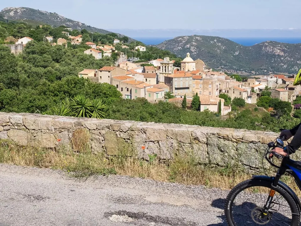
Departing from Saint-Florent, a more mountainous route than on previous days awaits you. You'll start the day by crossing the Agriates desert to the Vezzu pass (311 m). A beautiful descent will then take you to the territorial road, which you will cross to take a small secondary road. This will take you to the charming village of Novella, where you can refresh yourself and top up your water tank at the church. Your second climb of the day is the Col de Croce (513 m). The final challenge awaits you: the Col de San Colombano, which offers an exceptional panorama of the Balagne coastline. You then descend to the village of Belgodère, where you leave the GT20 and head for Ile-Rousse.
Distance 77 km Difference in altitude +1250 m / -1250 m
Overnight in L'Ile Rousse
DAY 5
From L'Ile Rousse to Galéria
The route will take you up through the villages of Balagne. You'll pass by the village of Pigna, renowned for its crafts, before rejoining the GT20 at Cateri. You will follow the Balagne through the villages to Calenzana, the starting point for the GR20 and Mare e Monti hikes. Continuing on the GT20, you climb the Marsolinu pass, which takes you back down to the Fango valley, a wild river whose mouth is at the fishing village of Galéria, your destination for the day.
Distance 62 km Difference in altitude +1150 m / -1150 m
Overnight in Galéria
DAY 6
From Galéria to Porto
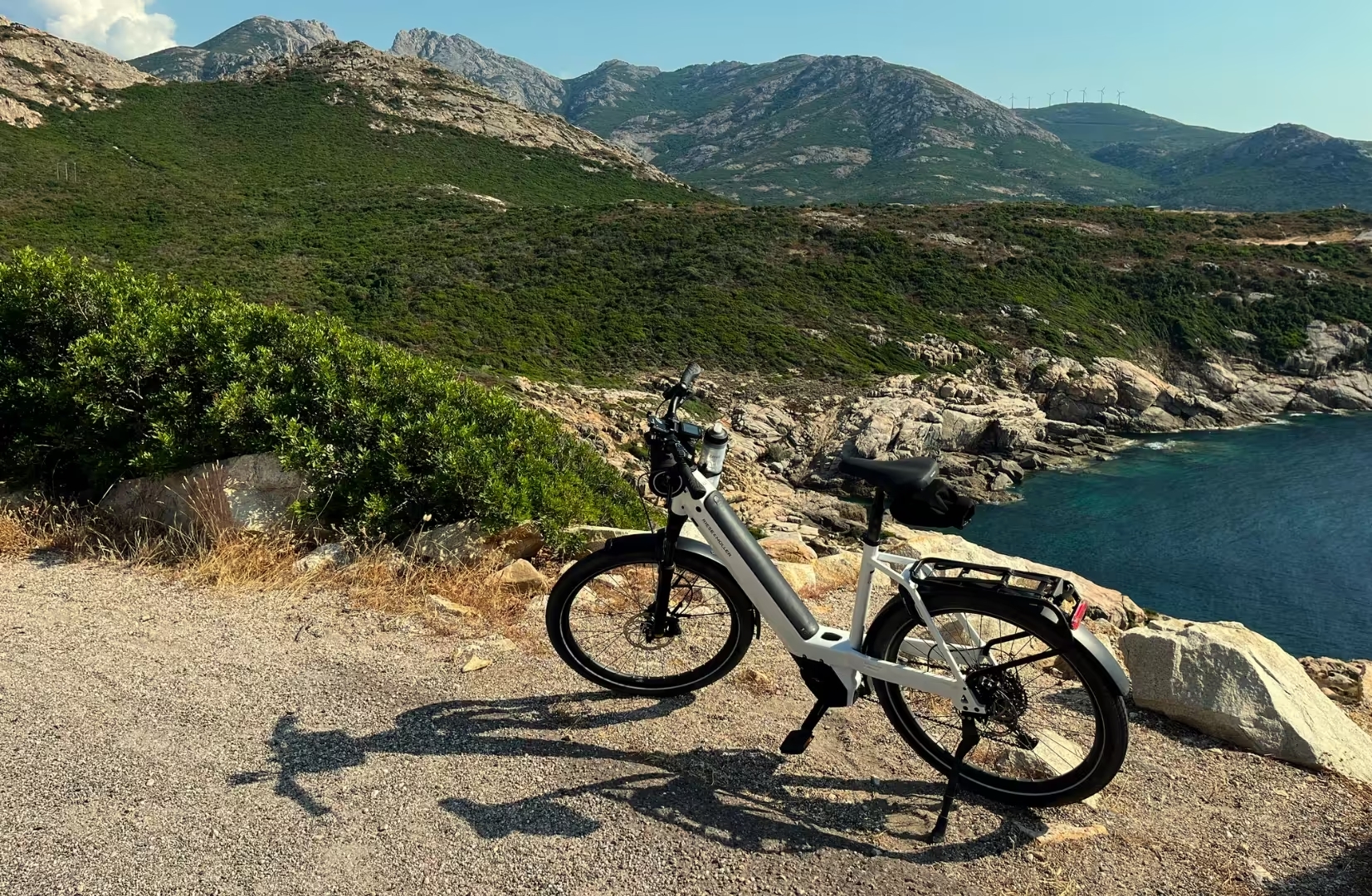
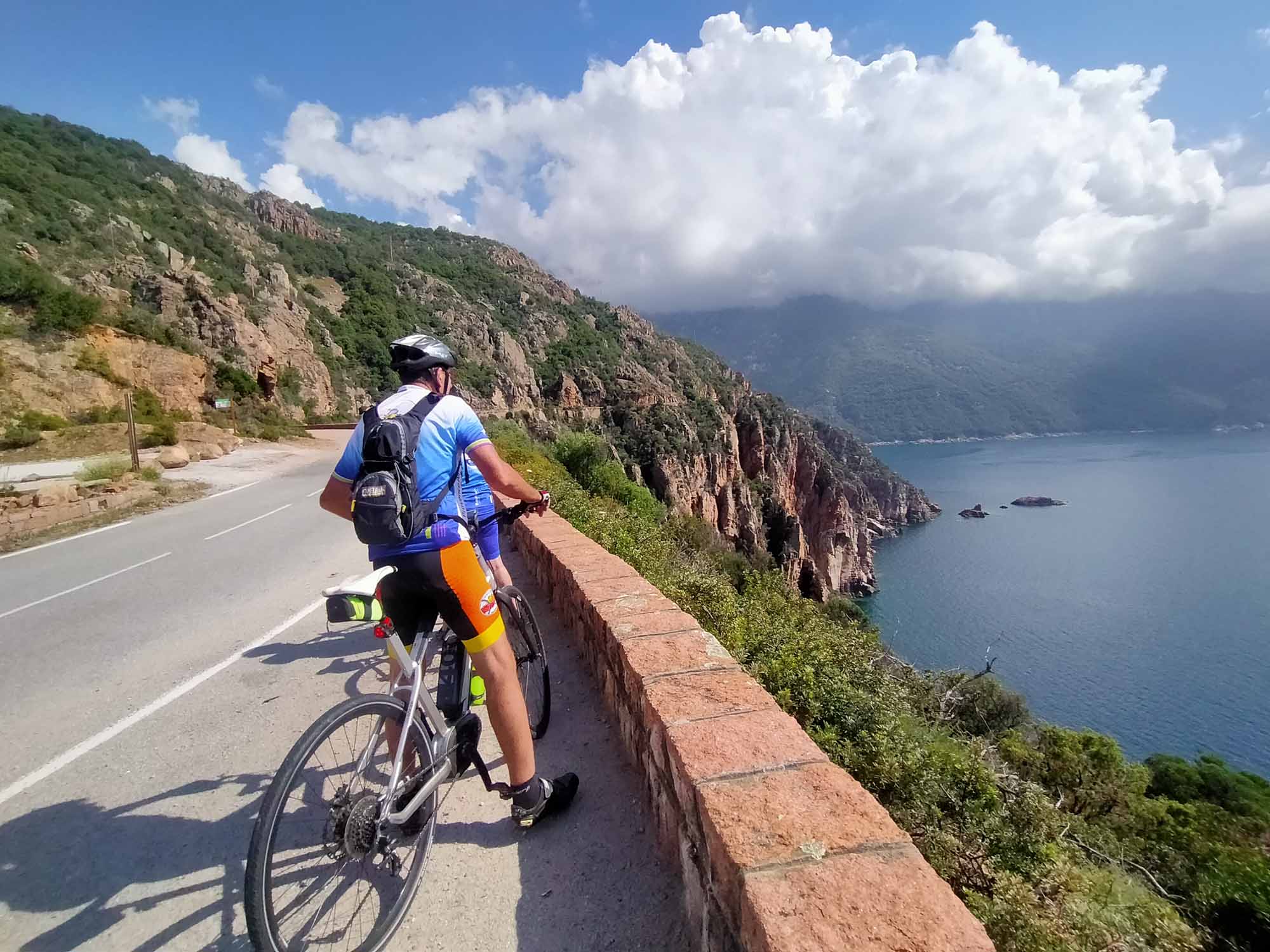
Leaving Galéria, you'll begin a gradual ascent through the Fango forest to the Palmarella pass. From here, take time to admire the panoramic views over the Scandola nature reserve and try to catch a glimpse of the fishing village of Girolata, only accessible on foot or by boat. The route continues with a long, winding descent along the various gulfs to the village of Porto, offering spectacular views of the Scandola Reserve, the Gulf of Porto and the famous Calanches de Piana.
Distance 51 km Difference in altitude + 600 m / -600 m
Overnight in Porto
DAY 7
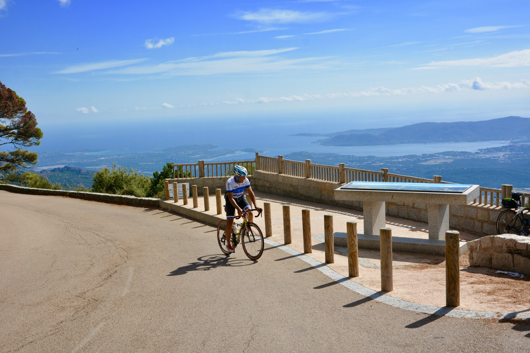
From Porto to Vergio
A day dedicated to climbing the Vergio pass, the highest road pass on the island. You'll start by crossing the impressive Spelunca gorges, which will take you to the village of Evisa. This lively village is ideal for a gourmet break and a chance to sample the local chestnut specialities. It's then a dozen kilometres to the statue of Christ the King, which proudly dominates the Col de Vergio. Finally, a short two-kilometre descent will take you to your accommodation at Castel di Vergio.
Distance 36 km Difference in altitude +1475 m / -100 m
Overnight in Vergio
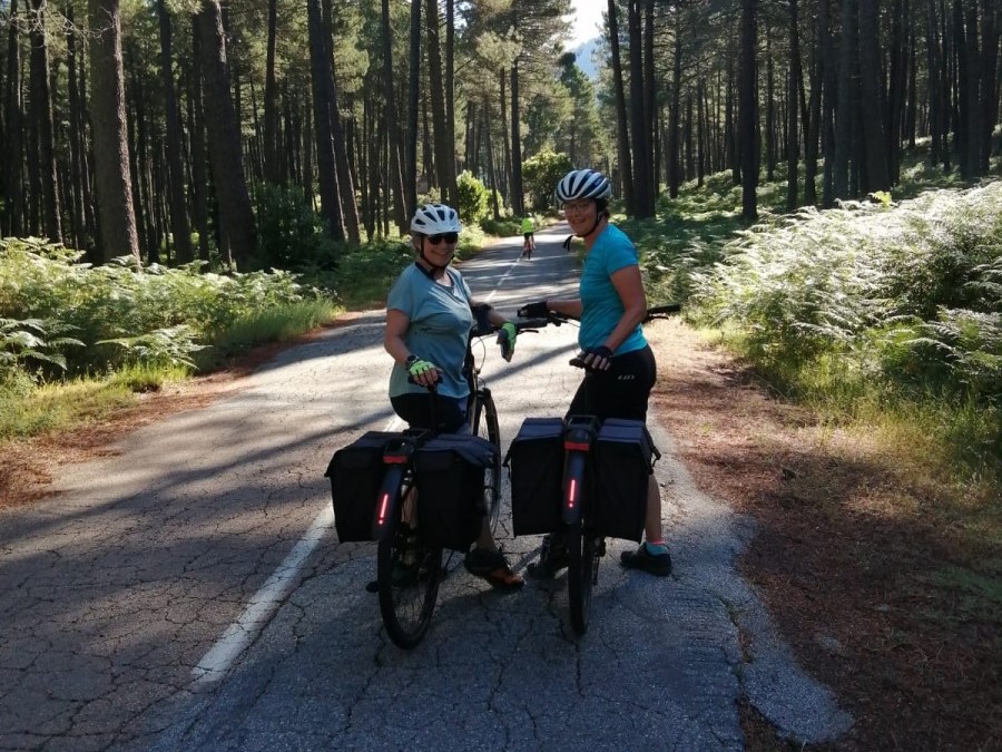
DAY 8
From Vergio to Corte
From Castel de Vergio, get ready with a windbreaker and gloves for a descent of almost forty kilometres! You'll start out through a vast forest, before skirting villages and spectacular gorges. This varied itinerary will give you the chance to discover the Niolo micro-region effortlessly. Once you reach the bridge at Castirla, the road gradually rises towards the village of the same name, before turning off in the direction of Corte. The historic capital of Corsica, Corte is a dynamic town with a rich heritage, including its citadel, old town centre and regional produce, all good reasons to linger.
Distance 49 km Difference in altitude +350 m / -1350 m
Overnight in Corte
DAY 9
From Corte to Ghisoni
From Corte, take the main road to the village of Venaco. After passing through Venaco, you will continue on a winding secondary road, crossing rivers, villages and mountains. At the end of the day, you'll cross the Inzecca gorges, a narrow, winding road offering breathtaking views of the Fium'Orbu river and the gorges it has shaped. You will end your day in the village of Ghisoni.
Distance 58 km Difference in altitude +1375 m / -1200 m
Overnight in Ghisoni
DAY 10
From Ghisoni to Zicavo
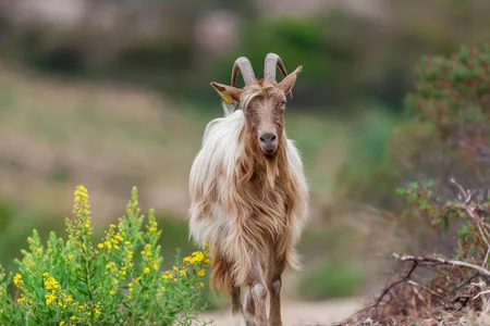
From Ghisoni, you'll begin your ascent of the Col de Verde (1,289 m). The fir forest offers shade and coolness all the way to the summit, where a break at the Auberge du Col de Verde is a must. A beautiful descent leads to the villages of Cozzano and Zicavo, where you'll find a grocery shop and water. From here, it's another fifteen kilometres on a road lined with free-roaming pigs before you reach the auberge on the Col de la Vaccia.
Distance 52 km Difference in altitude +1110 m / -600 m
Overnight in Zicavo
DAY 11
From Zicavo to Carbini
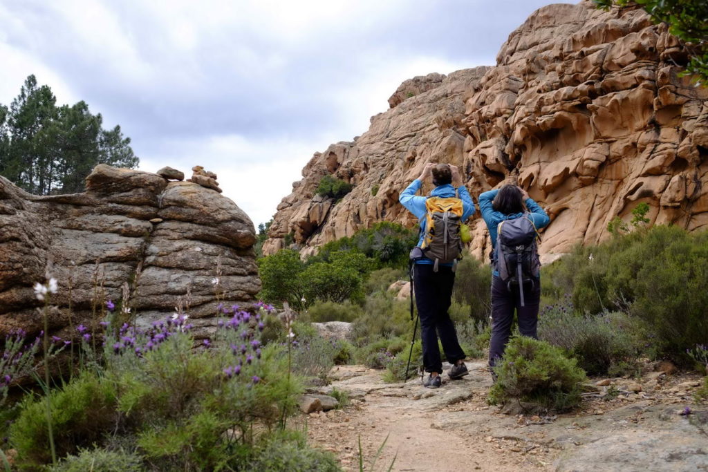
A day that offers a change of direction towards the sea! The last two days of cycling will give you the chance to enjoy some lovely descents through the villages of the Alta Rocca. A region of high plateaux rich in ancient remains, mountains and pastures, you'll pass through typical villages such as Aullène, then Zonza. Your day will end in the village of Carbini, exceptional for the presence of an episcopal complex of two churches, testifying to the rich history of this village.
Distance 48 km Difference in altitude +630 m / -1240 m
Overnight in Carbini
DAY 12
From Carbini to Bonifacio
After a few kilometres of ascent to the Bacino pass, you will discover the emblematic landscapes of the south of the island: the bay of Santa Giulia, the Sardinian islands and the beach of Palombaggia. Your route then descends towards the village of Sotta, before climbing slightly towards Chera. A road across the Arapa plateau will then take you back to the sea. The rest of the route takes in the plains, then a main road to the sea and the village of Bonifacio, perched on its cliffs.
Distance 50 km Difference in altitude +900 m / -1450 m
Departures on request every Saturday from the end of April to the end of June and from the beginning of September to October. Registration possible for 2 people or more. Departure on another day possible at extra cost. For bookings at other times, please contact us.
The months of July and August are not recommended for this itinerary due to the heat and traffic on the roads. Please contact us beforehand if you would like to depart on this date.
Single supplement: please contact us for prices.
Bike hire: please contact us for prices.
Extension to return to Ajaccio by bike: at the end of your stay in Bonifacio, we offer a three-day extension by bike to return to Ajaccio. Please contact us for prices.
Accommodation in ** and *** hotels.