Rechercher...

GIRU DI E PUNTE - OLMU

20290
Presentation
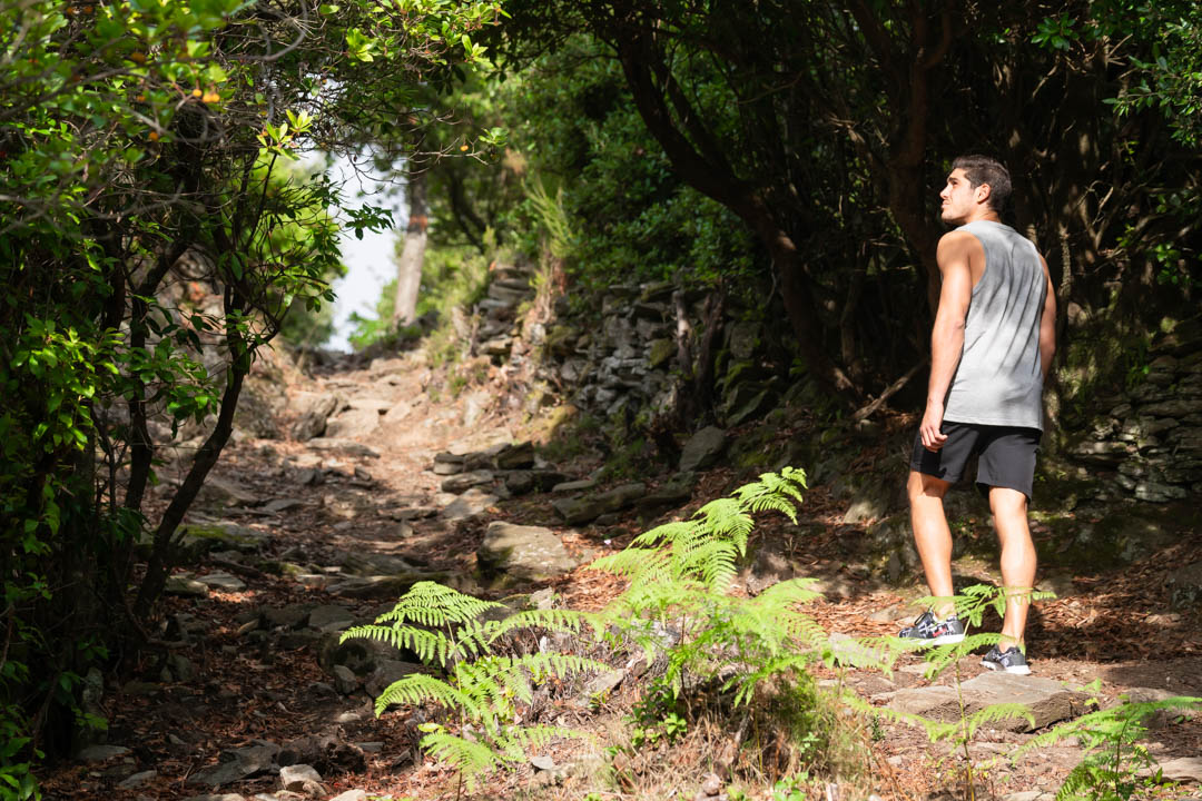
The Olmo trail invites you to take a leisurely stroll around the village, combining nature and local heritage. Along the way, a lookout offers breathtaking panoramic views, ideal for a picnic break under the parasol set up on site. Whether you're a hiker or just looking for a peaceful spot to enjoy the view, Olmo offers a simple and charming welcome. This walk is suitable for families.
Olmo trail :
Start from the village car park: 42.496490, 9.408563 (Alt. 545m)
Length of walk (excluding breaks): 3h
Distance covered: 5.3Kms
Difference in altitude: D+120m / D-102m
Difficulty: Easy
1) Go left (with your back to the war memorial) for 70m, then take the concrete road on your right.
your right.
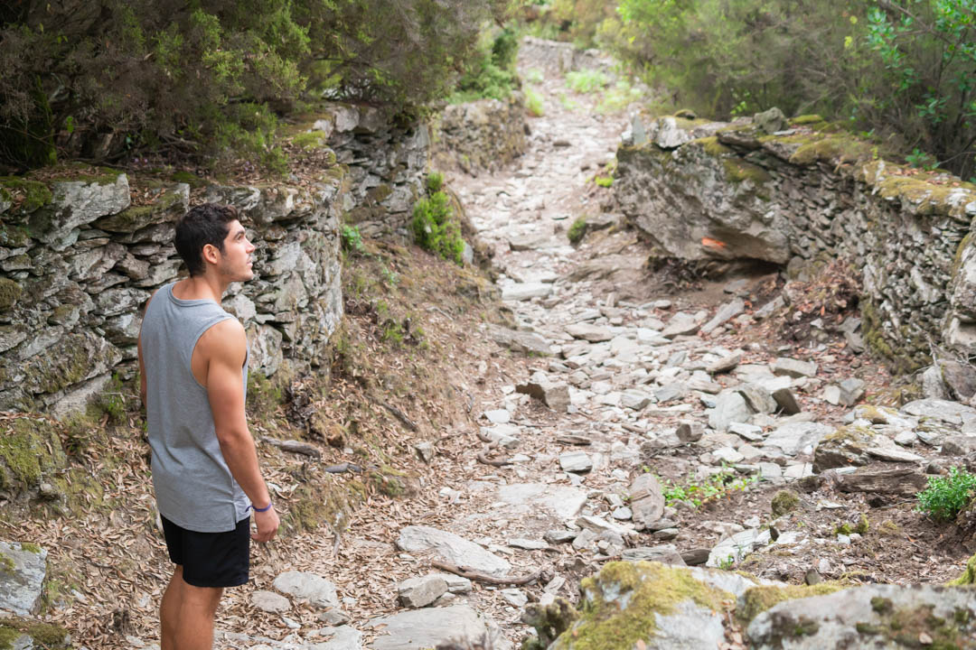
2) From the junction, climb up to the hairpin bend.
3) From the gate, walk under the chestnut grove for 400m to reach the dirt track.
After 20m, take the right-hand fork leading to 7: Stollu - this should not be used.
4) Once you are on the track, turn right and climb 950m.
5) On your right, spot the path leading to Stollu 7. Opposite you is the path leading down to Viscuvatu (Vescovato). To get to the lookout point, continue along the track 200m further on.
6) You'll come to the picnic area at U Macinaggiu, with its lovely viewpoint.
back to point 5.
5) Take the path towards l'Olmu (Olmo) at the sign for 750m. Follow the path to the left of the track you saw on the outward journey.
At the high point (cairn) look to your right, and you will see the ruins of the Castellucciu fort and the
the artificial lake.
7) From Stollu, continue along the path towards the pass; on your right, look out for "u Nespulu" which means "the medlar tree".
8) From Bocca Calanchella (the shortcut back to the village) continue slightly uphill and then, after a short descent, you will come to another junction leading to the Carcheroni pass, on your left. Here you take the Strada Pascal PAOLI.
9) Go down the track on your right and after 800m and a few hairpins you are on the
RD10. Leave the cemetery on your right.
10) Once on the road, turn right and continue for 400m, with a view of the village and its church.
11) On your left is the church of Sainte Julitte et Saint Quilicus.
12) Another 50 metres and you're back at the start car park.
The Topo Guide is available to download to guide you along your route and ensure you have a safe and enjoyable hike.